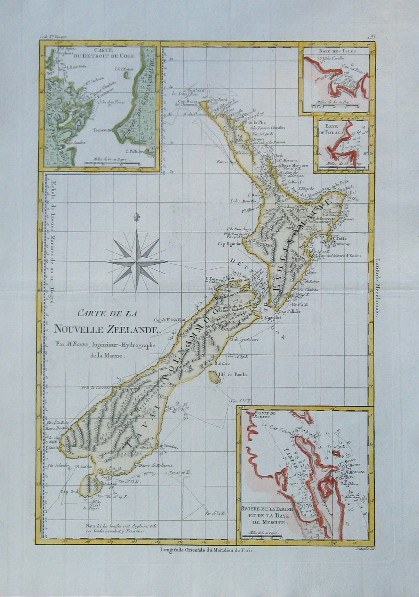
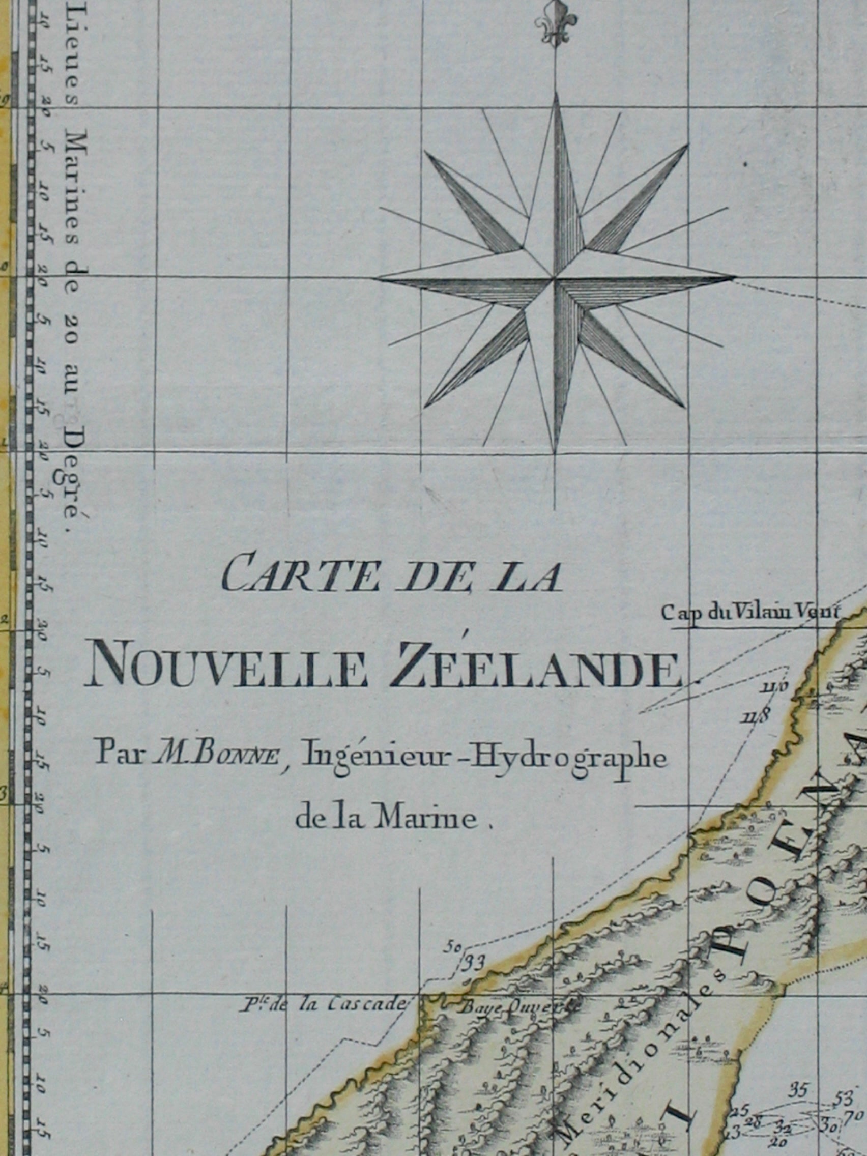

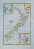
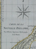

Carte de la Nouvelle Zéelande, par M. Bonne, Igenieur-Hydrographe de la Marine
Antique Print Gallery$1,850.00
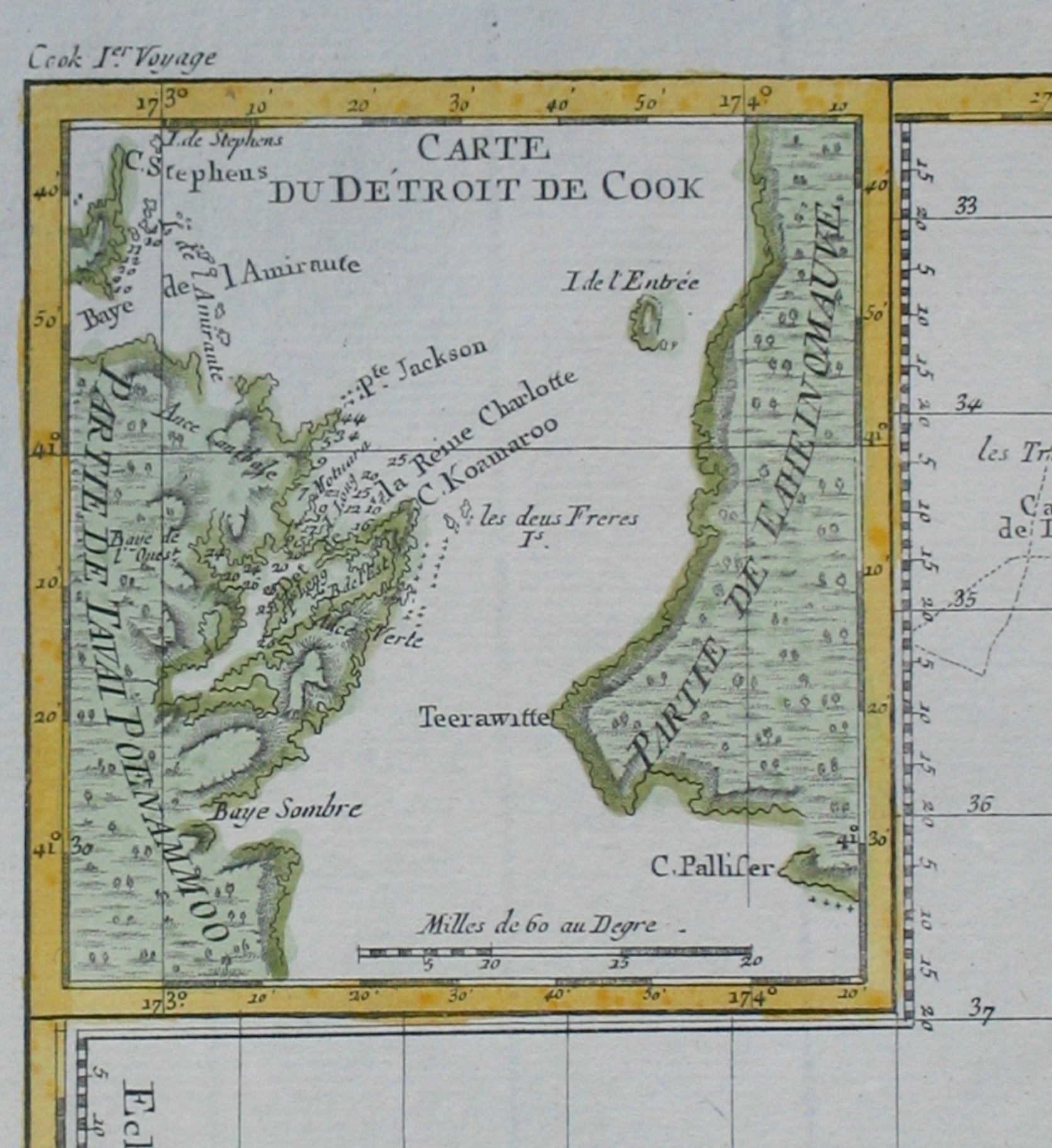
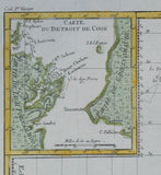
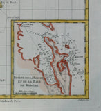
This hand coloured 1778 map of New Zealand is one of the first copies of Cook's 1772 chart. Rigobert Bonne (1727-95) included a compass rose and four inserts on his copy - viz. Cook Strait, Bay of Islands, Mercury Bay and Tolaga Bay. He also copied Cook's mistakes - Banks Peninsula as an island and Stewart Island as a possible peninsula. Charted so that the prime meridian passes through Paris.
| Artist | Rigobert Bonne |
|---|---|
| Cartographer | Lieut. James Cook |
| Date | 1778 |
| Dimensions (mm) | 230 x 340 |
| Engraver | André(?) |
| Place | Paris |
| Publication | 1788 World Atlas by Bonne |
| Condition | Excellent. Unfaded. Clear plate mark. |